| Segment | Segment Start | Segment End | Segment Length | Elevation (feet) | ||
|---|---|---|---|---|---|---|
| Min | Max | Range | ||||
| B5 | Tule Canyon Truck Trail, 3620 feet | Highway 74, 4920 feet | 15.0 miles | 3330 | 5060 | 1730 |
|
This section covers roughly mile 137 to mile 152 from the Mexican Border by our count and by Halfmile's count (mile 138 to 154 using the PCT Data Book; see notes on accuracy of mileages).
Topo! gives 14.3 miles for this segment. The PCT Data Book gives 15.4 miles. We've adopted 15.0 miles. The one-way hike from south to north has a total elevation gain of 2585 feet, and a total elevation loss of 1285 feet see the profile below. The one-way hike from north to south has a total elevation gain of 1285 feet, and a total elevation loss of 2585 feet. A round-trip hike of this section is 30.0 miles, with an elevation gain and loss of 3870 feet. | ||||||
Introduction
Survey Dates
The Trail Plant Checklist
Introduction
See The Flora of the Pacific Crest Trail: Overview for an Introduction to these plant checklists, and B. The San Ysidro and San Jacinto Mountains for an Introduction to the San Ysidro and San Jacinto Mountains section.
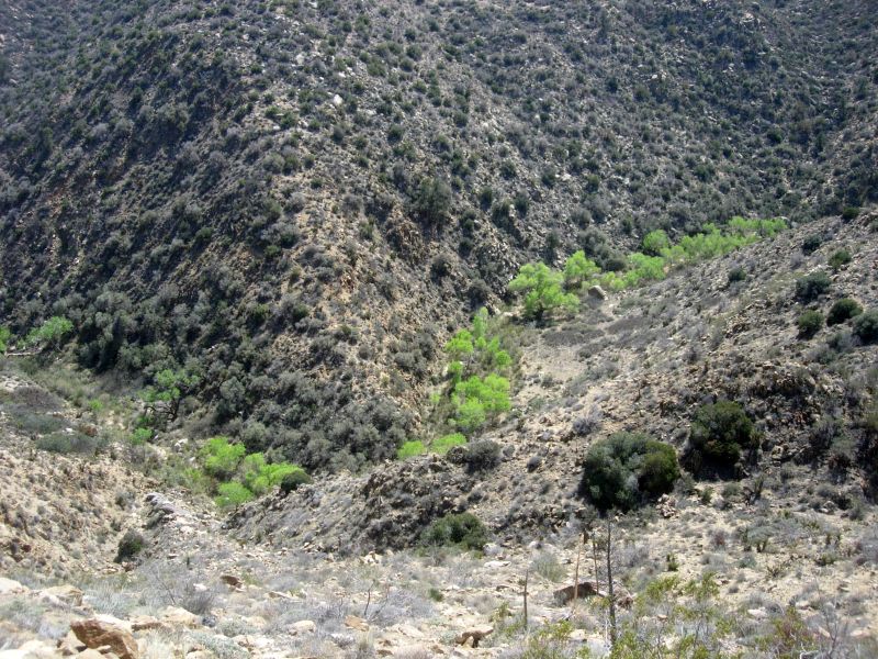
This section of the trail continues to undulate through the chaparral, with great views of the Santa Rosa Mountains, and views down Coyote Canyon to the Anza-Borrego desert. Aside from plants, geology is the most spectacular part of this trail. You get to walk through the San Jacinto fault, the most active fault of California. It appears to be a least a quarter mile wide in places. Highway 74 marks the end of the San Ysidro Mountains, and the beginning of the San Jacinto Mountains.

| 
|
Fig. 2. Left: Trail Map for the PCT Section B5, Tule Canyon Truck Trail - Highway 74, from USDA Forest Service Interactive Map. Right: Elevation profile from B5, Tule Canyon Truck Trail - Highway 74, from south to north. Click on the pictures for larger versions.
Survey Dates
| Date | Surveyors | # Species known on trail cumulative from all surveys to date |
|---|---|---|
| 15 March 2014 | RT and Shaun Hawke | 136 |
In addition, six surveys have been done for the four mile subsection going south from Highway 74. The merger of those surveys and the survey of the entire section have a total of 229 taxa.
The Trail Plant Checklist
The Plant Checklist for the entire section is currently available in three different formats:
- Illustrated Family Order List from Calflora, with two thumbnail pictures for every species (223 taxa). You can change the format of this list by clicking on the Format link at upper right. This allows a sort in family order instead of scientific name order, or to sort by bloom start month. Check Show photo service links and then click on Display to get links to all Calphotos et al pictures.
- Species in Order Along the Trail, with links to Jepson Manual Treatment and Calphotos (136 taxa; list is incomplete near Highway 74)
- Species Seen on or near the Trail in a Family Order List, with links to Jepson Manual Treatment and Calphotos (229 taxa)
- Species Seen on or near the Trail, along with species vouchered from this general area, in a Family Order List, with links to Jepson Manual Treatment and Calphotos (not done since there are few vouchers from this general area; use the preceding checklist instead)
Separate condensed print versions of just the checklist names are available for all except for the Calflora thumbnail picture version.
See also the plant trail guide for the four mile subsection going south from Highway 74.


