
|
A7 Pioneer Mail Picnic Area to Sunrise parking area | 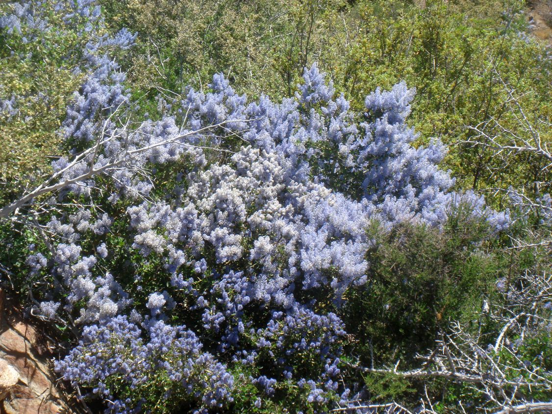
|
| Fig. 1. Pictures taken on the PCT in the Laguna Mountains from Pioneer Mail to Sunrise Highway, 30 April 2013, by Tom Chester. Left: Leptosiphon floribundus ssp. glaber, summer snow. Right: Ceanothus leucodermis, chaparral whitethorn.
Click on the pictures to get larger versions. | ||
| Segment Start | Segment End | Segment Length | Elevation (feet) | ||
|---|---|---|---|---|---|
| Min | Max | Range | |||
| Pioneer Mail Picnic Area | Sunrise parking area | 6.8 miles | 4840 | 5500 | 660 |
|
This section covers mile 53 to mile 60 from the Mexican Border (see notes on accuracy of mileages).
Topo! gives 6.7 miles for this segment; the PCT Data Book gives 6.8 miles. We adopted 6.8 miles. This segment does not touch the Sunrise Parking Area, which is 0.35 miles away. The one-way hike from south to north has a total elevation gain of 730 feet; see the profile below. The one-way hike from north to south has a total elevation gain of 1000 feet. A round-trip hike of this section is 13.6 miles, with an elevation gain and loss of 1730 feet, plus an additional round-trip of 0.7 miles from the Sunrise Parking Area to get on the PCT, for a total of 14.3 miles. | |||||
Introduction
Survey Dates
The Plant Checklists
Introduction
The trail section starts out following the old highway. Seven populations of California Bay are visible near the trail, the last one to the north is in a canyon below the trail with a least 50 plants. California Bay along with two other species of plants in the area, Redbud and Sonoma sage are typically found in central California. The plants found here are relicts from a wetter/cooler time in the geologic past. Redbud is not found on the trail for this section, but is near the Sunrise parking area. There are a few plants of Redbud, however, on the trail in the next section.
The end of this section is 0.35 miles east of the Sunrise Parking Area.

| 
|
Fig. 2. Left: Trail Map for the PCT Section A7 from Pioneer Mail Picnic Area to Sunrise parking area, from USDA Forest Service Interactive Map. Right: Elevation profile from Pioneer Mail Picnic Area to Sunrise parking area, from south to north. Click on the pictures for larger versions.
Survey Dates
Surveyed 4/30/2013 by Tom Chester, RT & Shaun Hawke and Adrienne Ballwey. 130 species were observed, with most in bloom. Ceanothus leucodermis was in full bloom and quite showy at this time.
The Plant Checklists
There are four different versions of the Plant Checklists, which differ depending on:
- whether only species observed in the immediate vicinity of the trail are included, or whether species are also included from the larger area surrounding the trail, some of which might be found on the trail in future surveys;
- whether the list is presented in trail order, or in plant family order; and
- whether thumbnail photographs are included with the list or instead, links are provided to Calphotos pix and the Jepson Manual eflora.
The lists are:
- Illustrated Family Order List from Calflora, with two thumbnail pictures for every species found on the trail (146 taxa). Note the checkbox at right that allows a sort of the list in family order instead of scientific name order, or a sort by bloom start month. Check Show photo service links and then click on Display to get links to all Calphotos et al pictures.
- Species in Order Along the Trail, from Pioneer Mail Picnic Area to Sunrise parking area, with links to Jepson Manual Treatment and Calphotos (146 taxa)
- Species Seen on or near the Trail in a Family Order List, with links to Jepson Manual Treatment and Calphotos (146 taxa)
- Species Seen on or near the Trail, along with species vouchered from this general area, in a Family Order List, with links to Jepson Manual Treatment and Calphotos (289 taxa)
Separate condensed print versions of just the checklist names are available for all except for the Calflora thumbnail picture version, as a link on each of those pages.